Exploring Perceptions of Meaningful Natures in Nordhavn
Planning for People, Place, and Planet
This project asks how do we plan for and with urban nature in ways that support human-nature connections and biodiversity goals from the local to the trans-national level? We address this question across social, ecological, and technological systems, knowledges, and everyday experiences to forefront the voice of nature in planning by 1) conducting biodiversity monitoring in Nordhavn using citizen science approaches; 2) engaging digital tools to “sense” how biodiversity is perceived at the eye-level; 3) analyzing big data preferences for “wild nature” in Nordhavn to provide visual data and policy scenarios for biodiversity futures in engagement processes and decision making. Outcomes for the project will be initial findings on citizen perspectives on biodiversity, multi-species actor mapping in Nordhavn, and big-data visualizations for biodiversity futures in Nordhavn all of which will inform decision support for just and inclusive planning and development in Nordhavn.
Follow the activities in the logbook.
Below you can read more about activities in the pilot project:
How do we plan for and with urban nature in ways that support human-nature connections and
biodiversity goals from the local to the trans-national level? We were excited to kick-off our project
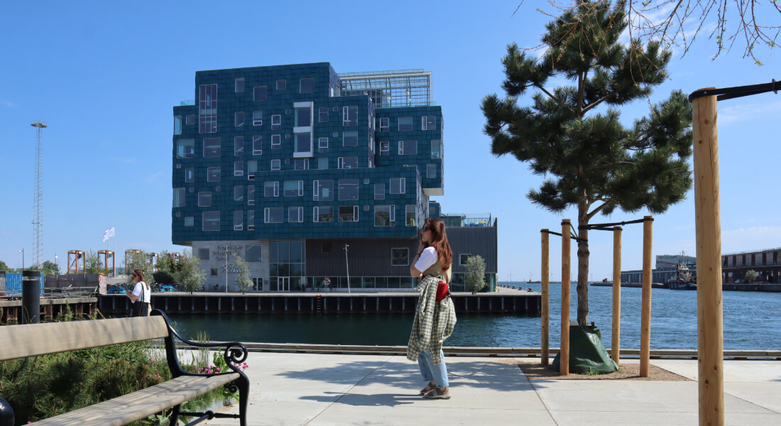
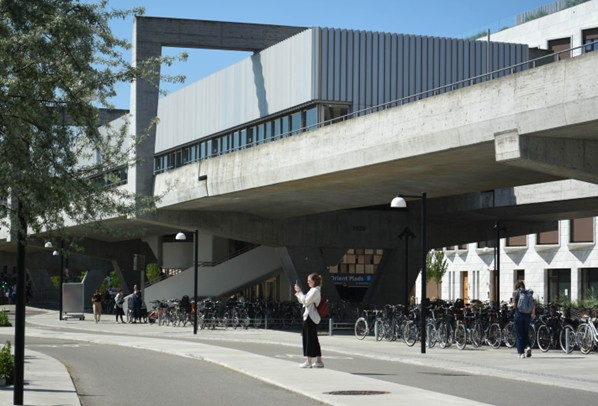
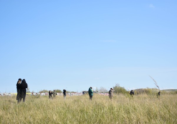
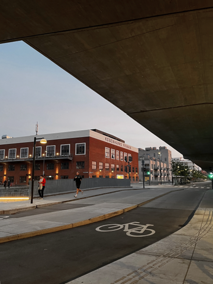
“Planning for People, Place, and Planet” this spring with conducting sensory nature walks in selected
places of Nordhavn to learn about the role of nature in the city from an eye-level perspective.
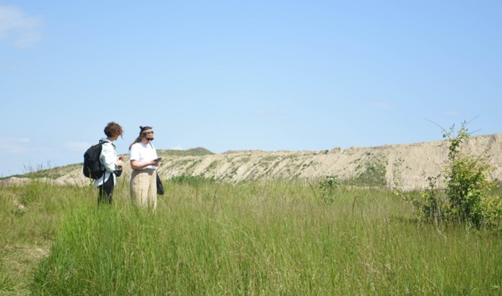
During the walks, a mix of students, professional designers, urban developers, and policymakers used the Urban Belonging app, a digital photovoice tool to collect and annotate geolocated image data. Participants were asked to take and annotate pictures of their positive and negative nature experiences in selected places in Nordhavn, which was concluded by a brief discussion. Using the data, we will visualize the role of nature in the city by
creating new insights into how nature experiences affect people's sense of belonging. A big thank you to all participants!
Having collected over 1700 annotated images over the seven walks, we are now busy analysing the data and preparing our findings for our upcoming workshop in August. There, we will give participants the space to elaborate on their impressions based on the pictures they took, and ask them to use Generative AI as a way to develop imaginaries of the future of Nordhavn’s green spaces. We are looking forward to it!
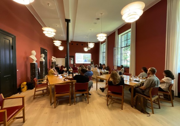
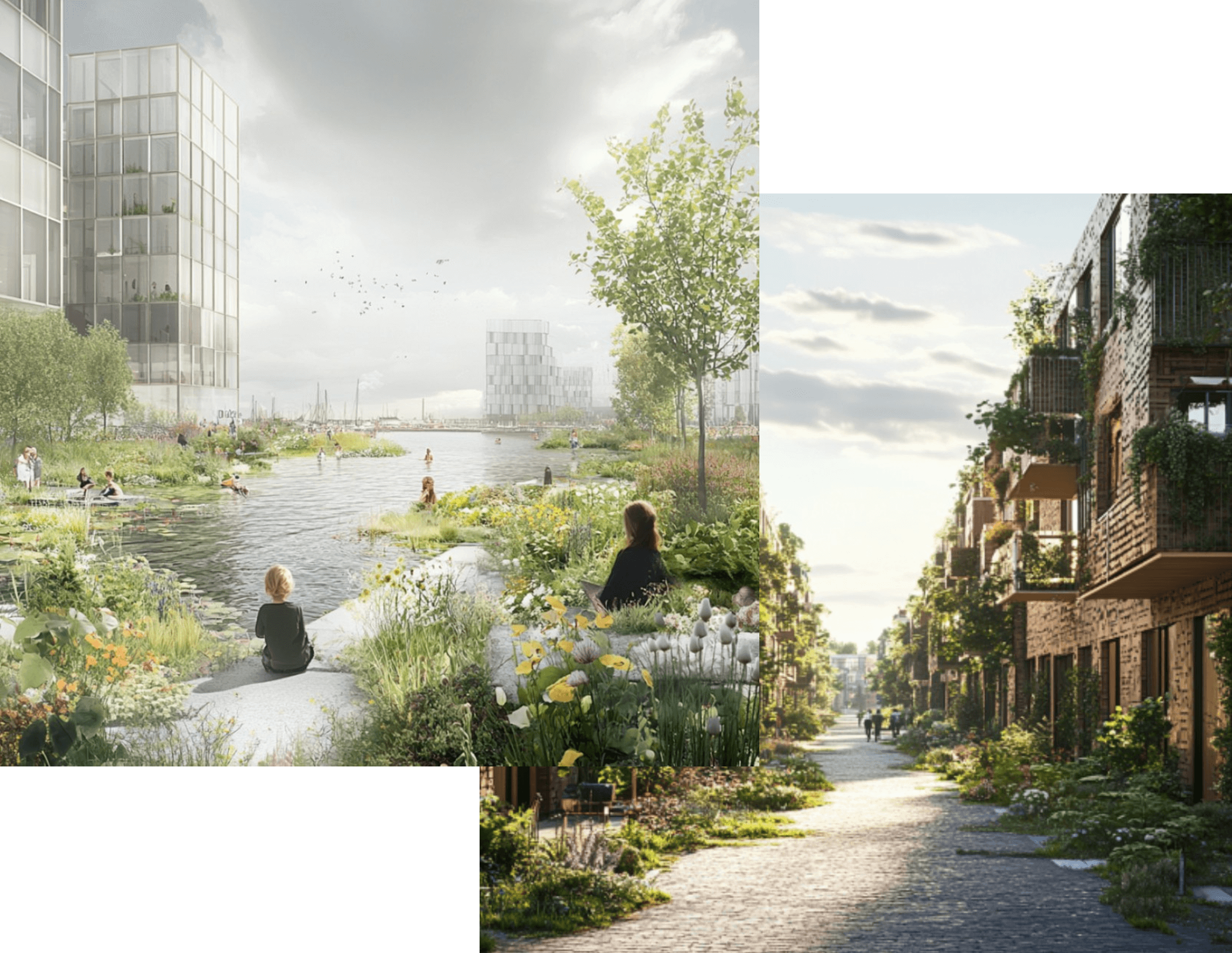
What stories do our photos from Nordhavn tell, and how could that be used to imagine the future of the area? Concluding the sensory walks, we organised a Data and AI workshop as part of our “Planning for People, Place, and Planet” pilot project. There, we wanted to learn more about what values play a key role in the development of the neighbourhood and imagine a future scenario using Generative AI tools.
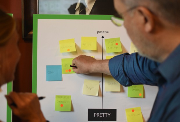
After introducing our findings from the photovoice dataset to the participants, we asked them to cocreate insights from the data to further qualify the annotated images they took In Nordhavn earlier this year. This included sharing the stories behind their photos, discussing what the social and environmental qualities of “accessibility”, “belonging”, “wild” and “messy”, amongst others, mean to them and using Generative AI text and image generating tools to envision how Nordhavn could be
developed in the future using prompts they formulated based on the set of values they wished to prioritise.
The workshop participants not only learnt about the dataset they contributed to during the sensory walks, but also shared their insights and knowledge in ways that could inform future policy and design guidelines. Using Generative AI tools
during the workshop allowed them to be bold and creative when creating imaginaries, whilst introducing how the algorithms can be used to co-create scenarios for the green transition in urban development and critically evaluating them.
Building on these outputs, the pilot project will be able to visualise the role of nature in the city using a varied mix of methods.
Our pilot project has been guided by an interdisciplinary team from the very start, with experts from fields such as
biology, landscape architecture, sociology, and data science. While combining different areas of expertise and ways of
thinking has presented some challenges, it has been incredibly rewarding for our work. Each team member
contributed their knowledge in areas like data visualization, photovoice research, and an understanding of Nordhavn's historical and ongoing development.
Over the past few months, our efforts have produced a "thick dataset" that brings together a variety of materials. This includes geolocated data, textual insights, and images collected during our photovoice walks and co-creation workshop, all of which are now being analyzed alongside our initial map-based survey (PPGIS) data. The combination of these innovative methods, along with team members’ perspectives on urban nature planning from a multispecies "One Health" perspectives have sparked rich and engaging discussions that help shape our understanding of the role of urban nature in Nordhavn and in general.
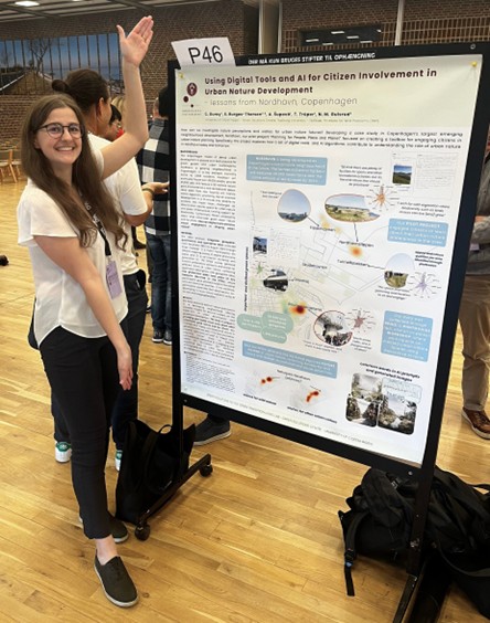
We presented some of our findings during the poster session of the Danish Digital, Data Science and AI (D3A) conference in Nyborg, sharing some of our insights from the material obtained through the pilot project. One of our team members, Sofie, was also invited as a panellist to present her other work to the “Deeply Qualitative AI” session, which offered valuable perspectives for our project.
Following our participation at a research seminar in Aarhus, our project was also invited via Natalie to participate in a conference on artificial intelligence and urban planning, organized by the Center for Strategic Urban Research and the Danish Urban Planning Laboratory. The event will take place in March 2025 at Aalborg University, where we are going to talk about our project, as well as the broader use of AI in urban planning.
We are excited to continue exploring our data and will soon create a detailed description and baseline report to share with interested stakeholders. In the months ahead, we will also reconnect our findings with the “Sustaining Publics” pilot project, sharing our insights through a joint report and an exhibition.
Key persons:
|
Sofie Burgos-Thorsen |
||
| Natalie Gulsrud | Department of Geosciences and Natural Resource Management | Faculty of Science |
| Csilla Duray | Department of Plant and Environmental Sciences | Faculty of Science |
| Department of Geosciences and Natural Resource Management | Faculty of Science | |
| Statens Naturhistoriske Museum |
About the pilot project: