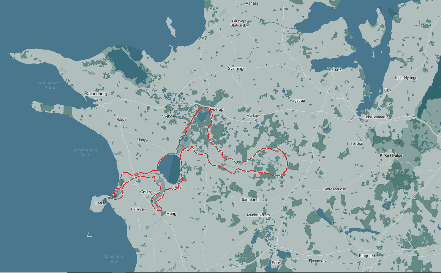
Åmosen
Map from Naturpark Åmosen.
Geographically, the Living Lab revolves around the drained wetland and regulated streams in Åmosen in Western Zealand. Åmosen spans approximately 10 x 20 kilometres, and the area was historically a hydrological divider in the landscape, limiting mobility across a north-south axis. Thus, since the 18th century, there have been attempts to regulate and change the area, which failed until the 20th century. From 1900 onwards, parts of the wetland were exploited for peat extraction during the two world wars, and subsequently, widespread drainage fundamentally changed the wetland. Large areas were converted to agricultural land, while the central river stream, Åmosen Å, was straightened.
Maps over Åmosen:

